Other
Blueye GPS
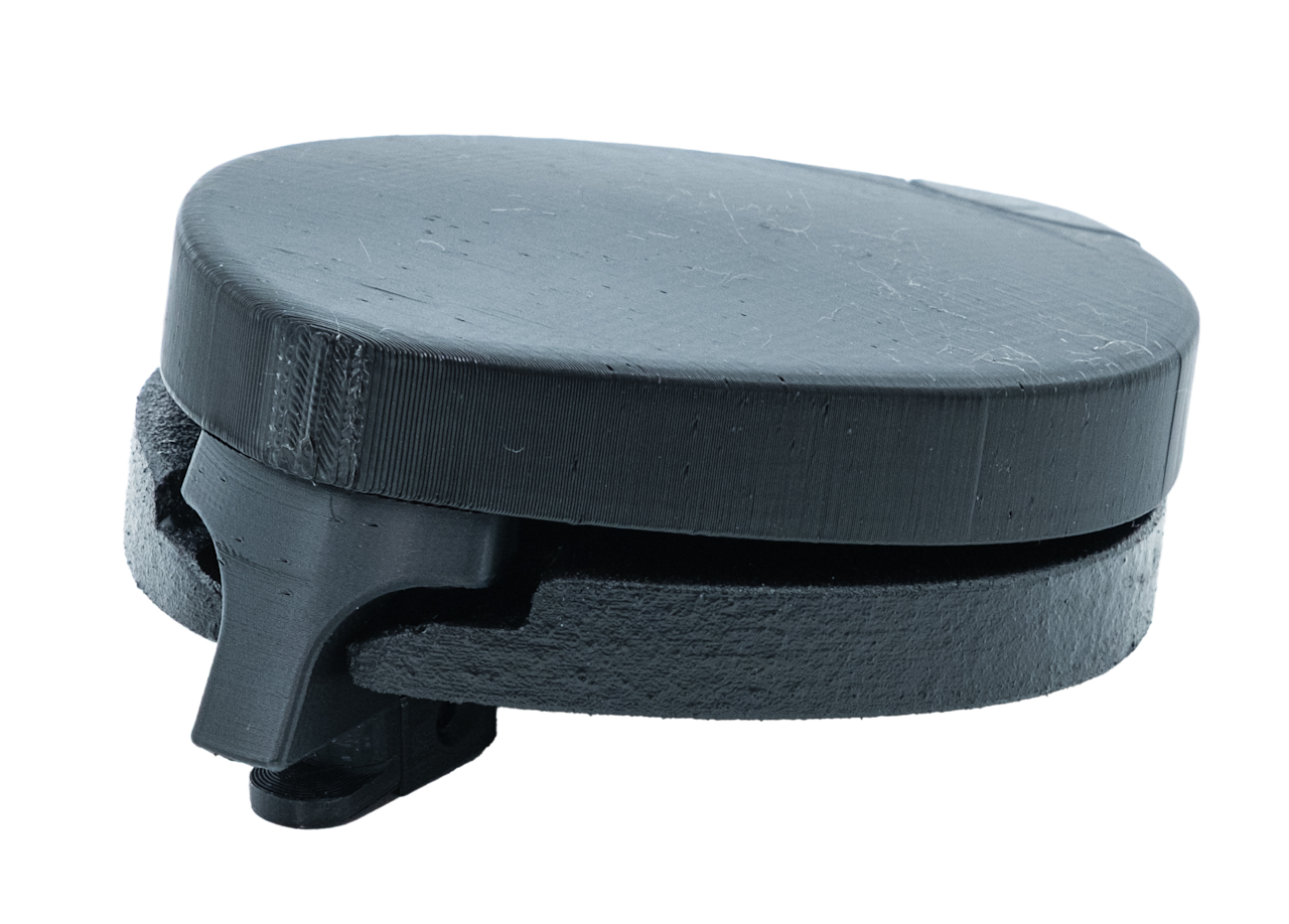
Specifications
- Accuracy m
- 1.5
- Weight air g
- 250
- Depth rating m
- 500
- Dimensions (mm)
- 130 x 96 x 53
- Power supply (v)
- 14.8
- Weight water g
- 0
- Peak power draw ma
- 100
- Power consumption ma
- 35
- Velocity accuracy (ms)
- 0.05
- Time to first fix hot start sec
- 2
- Time to first fix cold start sec
- 24
Overview
The Blueye GPS is a drone payload mounted on top of ROVs that provides live position data when at the surface. It enables precise positioning, station keeping, mission planning, and point-of-interest tagging. Integrated directly into the Blueye app with tool-free installation.
Key features
- ▸Live GPS position data when ROV at surface
- ▸1.5 m positioning accuracy with station keeping capability
- ▸Supports GPS, GLONASS, BeiDou, Galileo constellations
- ▸Integrated into Blueye app, no third-party software needed
- ▸Tool-free click-mount system, mounts front or aft on ROV
- ▸Works in rough sea conditions with advanced filtering
- ▸Position source for Mission Planner dive operations
- ▸Tag points of interest and log findings at surface
- ▸Odometre enables distance measurement
- ▸Low power consumption: 35 mA continuous operation