Let's compare
eBee X
senseFly
Not yet assessed
- Height
- —
- Payload
- —
- Verified autonomy
- not assessed
- Real deployment
- not assessed
- Status
- —
- Price
- —
eBee X
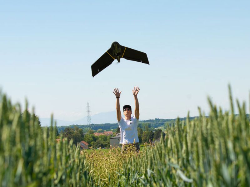
senseFlyThe eBee X is a professional fixed-wing mapping drone developed by senseFly (now under AgEagle Aerial Systems / EagleNXT), headquartered in Wichita, Kansas. It weighs under 1.6 kg, offers up to 90 minutes of flight time, and can map up to 500 ha per flight with absolute accuracy down to 1.5 cm using RTK/PPK — all without ground control points. The drone executes fully automated missions via eMotion software, including automated takeoff, flight, and linear landing, with no human performing the mapping task itself. It holds multiple regulatory approvals including FAA Remote ID, Operations Over People (OOP) in the US and Canada, and EASA M2 Mitigation Design Verification for BVLOS/SORA operations.
Availability
Specification
- maximum weight
- < 1.6 kg (3.6 lb)
Price
No public price — contact the supplier for a quote.
Good · Bad · Ugly
Evidence-graded claims from the senseFly deep report
The eBee drones can cover up to 500 acres per flight at 400 ft altitude.
A Tennessee State University academic document [3] — an independent educational source — cites the 500-acre/400 ft figure, though it likely draws from vendor spec sheets and does not constitute an independent field validation.
from senseFly deep report →AgEagle Aerial Systems acquired senseFly from Parrot Group on October 18, 2021 for US$23 million in cash and stock.
Yahoo Finance [8] and Startupticker [12] — independent news sources — both report the acquisition price and date with direct quotes from the announcement, providing credible third-party corroboration.
from senseFly deep report →
eBee drones execute aerial mapping missions fully autonomously — the operator plans and launches, but the drone flies the route, captures imagery, and returns without human control mid-flight.
The autonomy claim originates from senseFly/AgEagle marketing copy and the dossier's own reconciled verdict [1][2]; no independent third-party test or regulator report in the dossier specifically validates mid-flight autonomy without human override capability.
from senseFly deep report →The eMotion software supports BVLOS (Beyond Visual Line of Sight) automated flight control operations.
BVLOS capability is stated only in official senseFly marketing copy [1][2]; no independent regulatory approval, third-party field report, or customer verification of operational BVLOS flights appears in the dossier.
from senseFly deep report →senseFly's eBee SQ is priced at approximately $10,990 at base configuration, with high-end/tactical variants exceeding $70,000.
The $10,990 figure appears in an academic/commerce document [3][4], but pricing for the high-end variants (>$70,000) is sourced from commercial review sites without independent buyer confirmation or official price list verification.
from senseFly deep report →
Maximum flight time is up to 90 minutes (per drone pilot ground school source), but an independent academic source cites only 55 minutes for the eBee SQ specifically.
The 90-minute figure comes from a commercial review site [4] rather than an independent test; the academic source [3] cites 55 minutes for the eBee SQ, and neither source independently validates the higher figure through controlled measurement — the 90-minute claim is likely model-specific marketing for a higher-end variant and is unverified.
from senseFly deep report →senseFly's eBee drones are deployed at scale across defense, agriculture, construction, energy, and public safety sectors.
Deployment sectors are listed only in official senseFly/AgEagle marketing and the acquisition announcement [1][2][8]; the dossier contains no independent customer case studies, fleet counts, or third-party reports confirming scaled real-world deployment across these verticals.
from senseFly deep report →
About the company
Editorial directory of real robot products from leading global manufacturers. Each entry links to the manufacturer's official page.